Tao'er River
Subtitle: A Journey Through Time and Nature: Exploring the Tao'er River
Introduction: The Lifeline of the Plains
Flowing with a quiet, persistent grace across the vast landscapes of northeastern China, the Tao'er River (洮儿河) stands as the largest tributary on the right bank of the mighty Nen River. More than just a geographical feature marked by its length of 553 kilometers and a basin area of 30,800 square kilometers, it is the essential artery of the region. Its waters have carved not only a physical path through the earth but also a cultural and historical corridor, nurturing the lands and communities of the Inner Mongolia Autonomous Region and Jilin Province. A visit here is an immersion into a dynamic ecosystem and a testament to the enduring relationship between water and life on the plains.
1. Origins and Course: From Mountain Springs to Confluence
1.1. The Source: Birth in the Greater Khingan Range The journey of the Tao'er River begins in a place of pristine wilderness. Its source is traced to the Jiudao Gou (Nine-Channel Gully) within the Bailang Forestry Area, nestled on the southeastern foothills of the Gao Yue Mountain, part of the majestic Greater Khingan Range (Da Hinggan Ling) in Inner Mongolia's Xing'an League. Here, it is not a single mighty spring but a gathering of ten smaller streams and rivulets, their waters converging to form the nascent river, fed by forest runoff and mountain springs.
1.2. The Meandering Path: A Journey Through Landscapes From its origins, the river embarks on a significant southeastward course. It first traverses the pastoral and agricultural lands of the Horqin Right Front Banner (Ke You Qian Qi) and flows past the urban center of Ulanhot (乌兰浩特), the capital of Xing'an League. It is at Ulanhot that the river receives a major tributary, the Guiliu River, augmenting its flow significantly.
1.3. Entering Jilin and the Final Merge Continuing southeast, the river crosses into the northwestern part of Jilin Province. It passes by the city of Taonan (洮南市), whose very name is derived from the river, highlighting its historical importance. Below Taonan, the Tao'er River executes a broad turn towards the northeast. Its final act before joining the Nen River is to fill the expansive Moonlight Lake (Yueliang Pao), a significant shallow lake and wetland complex near Da'an City. From this tranquil reservoir, its waters finally complete their journey, merging with the powerful currents of the Nen River, a major contributor to the Songhua River system.
2. Ecological and Economic Significance: The River's Bounty
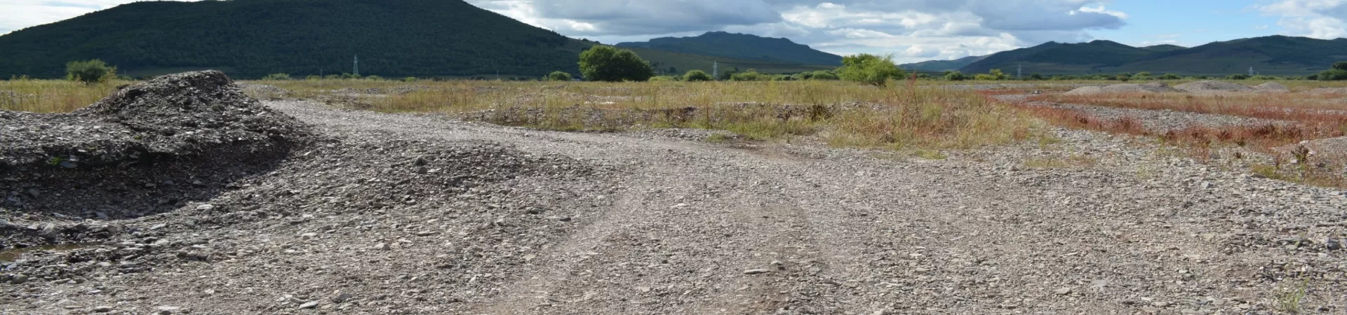
2.1. A Vital Ecosystem The Tao'er River basin supports a rich mosaic of ecosystems. Its waters and the associated wetlands, particularly around Moonlight Lake, serve as crucial habitats for numerous bird species, fish, and other wildlife. The river's seasonal flows recharge groundwater, maintain wetland health, and create a green corridor through the semi-arid regions of the plains, making it an indispensable ecological asset.
2.2. Agriculture and Sustenance For centuries, the river has been the foundation of agriculture in the region. Its waters are harnessed for irrigation, turning the surrounding plains into productive farmland. The fertile silt deposited along its banks has created rich agricultural zones, supporting crops and sustaining local communities. The river is not just a scenic presence but the very source of livelihood and food security for the region.
3. Cultural and Historical Context: More Than Just Water
3.1. A Witness to History The banks of the Tao'er River have witnessed the ebb and flow of history, from ancient nomadic tribes to modern settlement patterns. Cities like Taonan and Ulanhot developed as key nodes along its course, their growth intrinsically linked to the river for transport, water, and trade. The river served as a historical conduit for movement and cultural exchange in this frontier region between Inner Mongolia and Manchuria.
3.2. Landscape and Leisure Today, the river offers serene landscapes away from bustling urban centers. Sections near Ulanhot and other towns provide opportunities for riverside walks, photography, and contemplation. The contrast between its lively upper reaches in the forested hills and its broad, placid flow on the plains encapsulates the diverse topography of northeastern China.
4. Visitor Information
4.1. Access and Exploration The river is accessible from various points along its course, with Ulanhot and Taonan being the most prominent urban gateways. Exploring the river often involves visiting the scenic spots or parks along its banks. There is no single "attraction" but rather a series of experiences tied to the river's presence in different locales.
4.2. Opening Hours As a natural geographical feature, the Tao'er River and its accessible banks are open to visitors all day. However, specific parks, viewing platforms, or facilities managed by local authorities in cities like Ulanhot may have their own operating hours, which should be checked locally.
4.3. Best Time to Visit The river's character changes with the seasons. Summer and early autumn (June to September) offer lush, green scenery and milder weather, ideal for outdoor activities. The winter transforms the area into a stark, frozen landscape, offering a uniquely beautiful, if harsh, vista. Spring brings the melting flows, vitalizing the ecosystem.
In essence, to encounter the Tao'er River is to engage with a fundamental force of nature in this part of China. It is a journey that offers insights into geography, ecology, and the quiet, enduring rhythm of life shaped by a flowing watercourse. Its story is one of convergence—of streams, of provinces, of history, and of human endeavor with the natural world.